Description
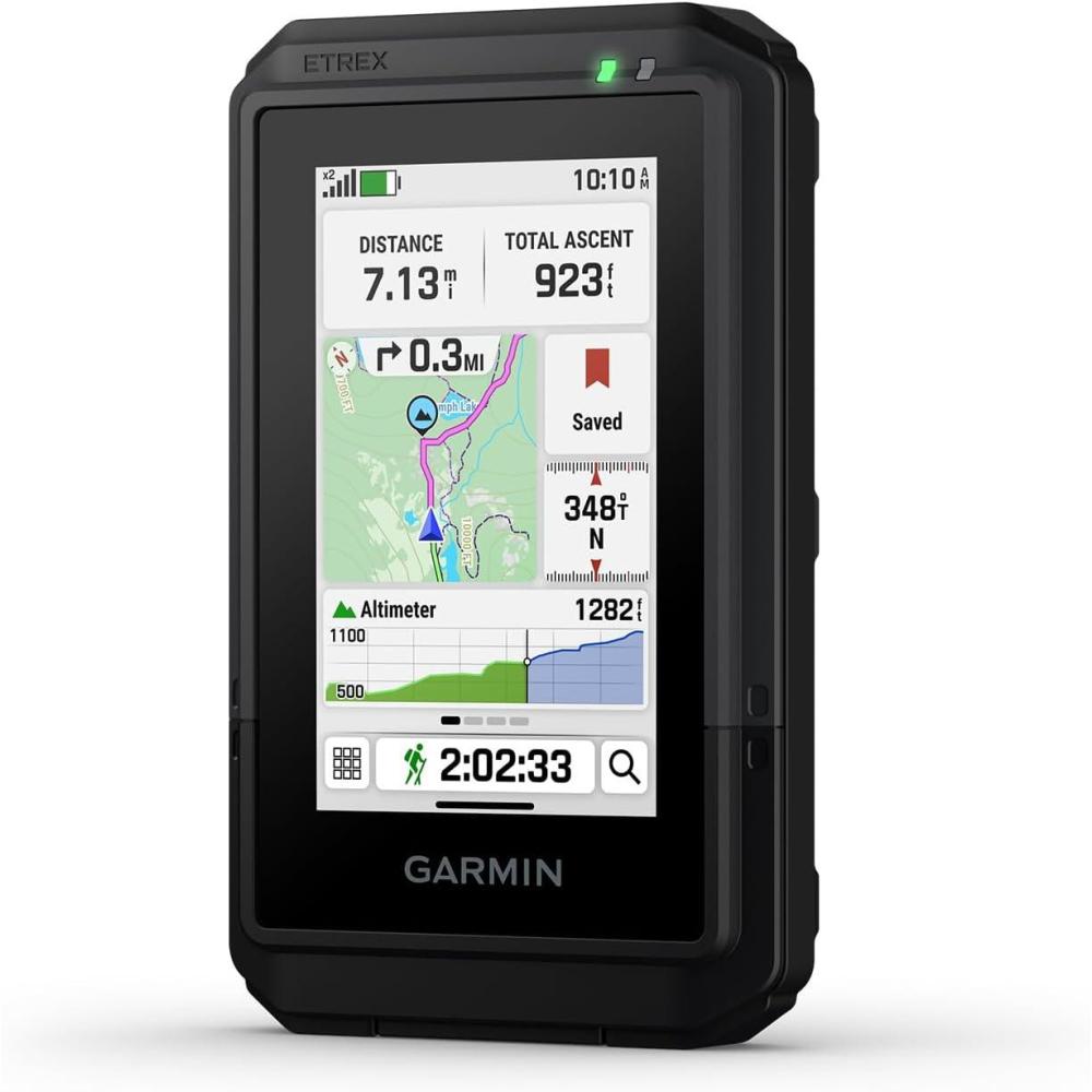
Compact and lightweight GPS handheld navigator with bright 3″ high-resolution color touchscreen so you can easily swipe and zoom to follow your route
Preloaded with detailed maps for roads and trails; see terrain contours, topographic elevations, summits, parks, coastlines, rivers, lakes and geographical points; view thousands of points of interest, including geographic labels, shops, restaurants, schools and community places
Option to purchase an Outdoor Maps+ plan (sold separately) adds ongoing access to premium map content you can download via Wi-Fi technology
Rechargeable battery can provide up to 130 hours of battery life in all satellite systems plus multi-band mode (assuming typical use with SatIQ technology) and up to 650 hours in expedition mode; recharge easily with a standard USB-C cable
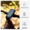
Purpose-built with IP67 water rating to withstand weather and rugged conditions during a variety of outdoor activities
Multi-band GPS support provides optimal positional accuracy, so you know exactly where you are
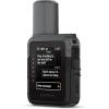
Compatible with the Garmin Explore mobile app to plan and review trip data on your smartphone or tablet; also manage your waypoints, courses and activities
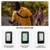
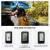
Tap into adventure with the rugged, easy-to-use eTrex® Touch GPS handheld navigator. With a bright 3″ high-resolution color touchscreen, it’s sunlight readable so you don’t miss a detail. It’s purpose-built for exploration in any weather (IP67 water rating) and comes with maps for trails and roads so you can easily swipe and zoom to follow your route. Add ongoing access to Outdoor Maps+ (sold separately) for a variety of premium mapping content, and get up to 130 hours of battery life in all satellite systems plus multi-band mode (assuming typical use with SatIQ™ technology) to enjoy all your favorite outdoor activities even more. Multi-band GPS support provides optimal positional accuracy, so you know exactly where you are. Use the Garmin Explore™ mobile app for convenient trip planning and more.


Reviews
There are no reviews yet.